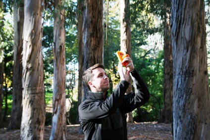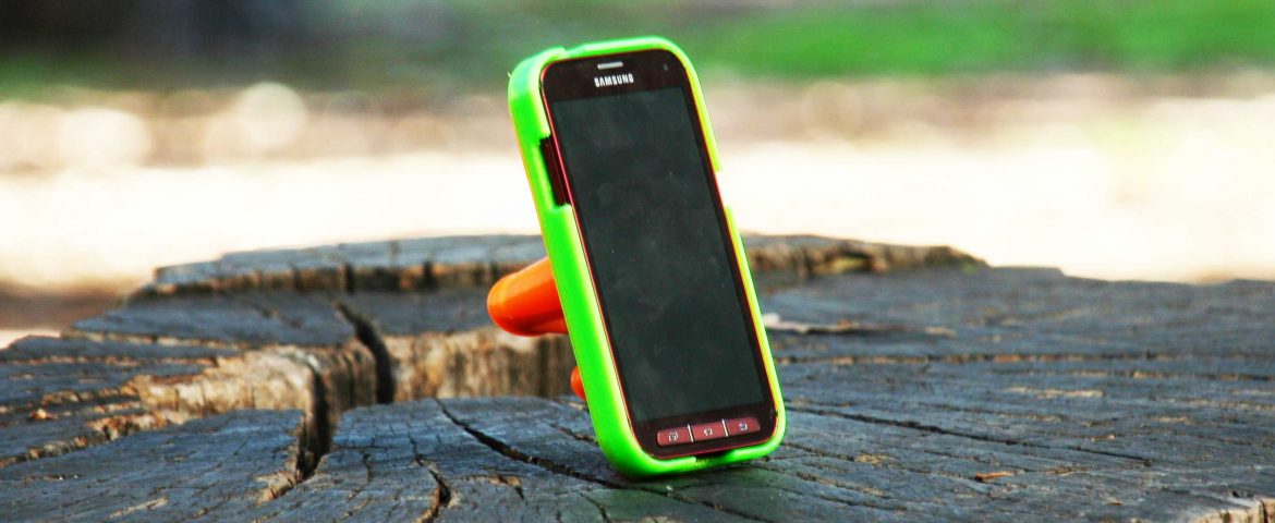
The Smart Measurement System uses a modified smartphone and laser to collect field data. A user navigates predetermined routes using cached maps linked to the smartphone GPS sensor. Periodically, the device prompts the user to take photos of the resource, recording laser and sensor information. Photos are automatically uploaded to our server each night while the device changes and are remotely processed the next day.
The Smart Measurement System has been successfully applied to quickly collect high-quality data for forest inventories and is particularly suitable to rapid assessment for forest acquisitions. Because it is so simple to use, the system can be deployed in parallel with multiple non-expert users to generate a high-volume data on a daily basis.
Learn More About Parallel Processing