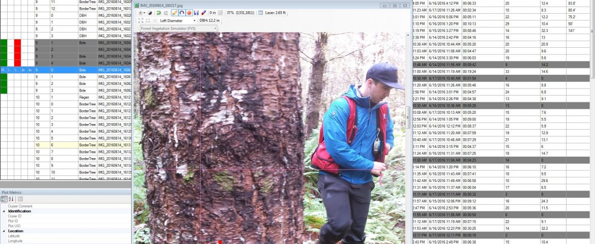
The Smart Measurement System generates biometric estimates from semi-automated photo interpretation. Photos are uploaded to a server on a nightly-basis for archiving and processing. Using our analysis software, a trained technician digitizes required metrics from pictures that machine learning algorithms can’t automatically detect, such as tree species or timber merchantibility. Because all field data are automatically geotagged, customers have the ability to map metrics across the natural resource and perform secondary spatial analysis.
Once the pictures are archived, our customers can revist each plot using our analysis software. If needed, photo-derived measurements and interpretations can be adjusted without having to revisit the field site. Should the need arise in the future, customers can derive additional metrics that weren’t originally conceived at the time of field data collection. For example, should a timber company need to demonstrate legal compliance in management, archived photos can be analysed to obtain the necessary evidence.